Every spot, told by the people who ride it
Explore+ turns the sessions recorded by the Waterspeed community into a living map of the world's water spots: where people ride, when the wind blows and what conditions to expect.


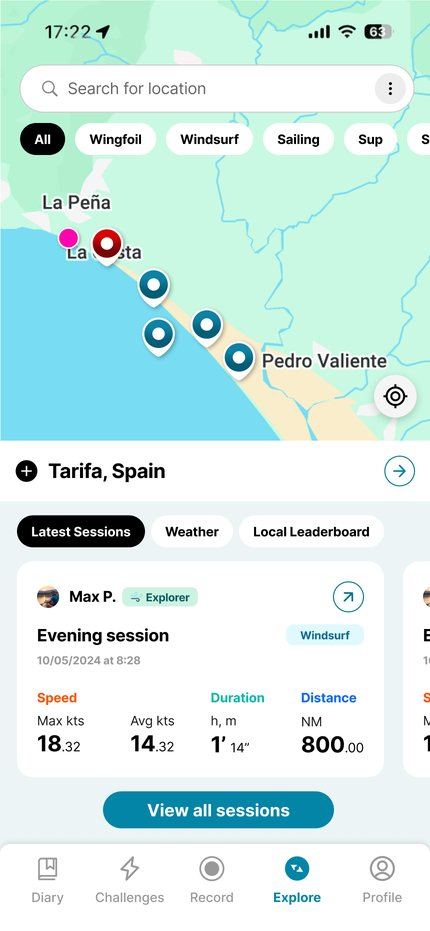
How it works
- 1
You record a session On your phone or your watch, as usual.
- 2
It adds to the map Your track helps describe the spot: where people ride, at what times and in which wind. You choose what is public.
- 3
Everyone rides better Before going out, you see what the spot is like today and how it usually is.
What you see on a spot
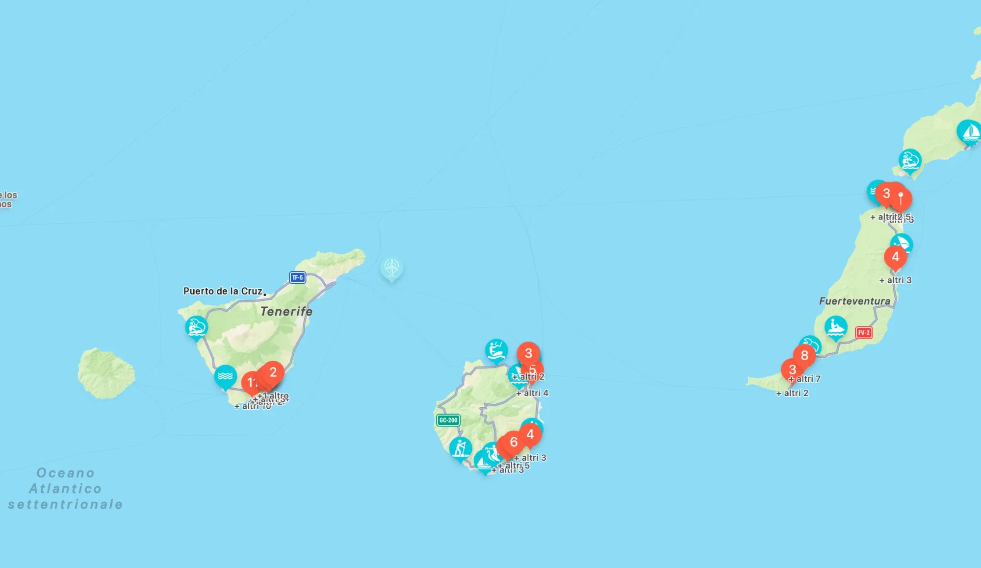
The Canary Islands, as an example
Tenerife, Gran Canaria and Fuerteventura: sessions and spots shared by the community. Example image, data in the app.
Sessions are public, but your data can be private. You decide what to share with the community.
Explore+ is free for everyone. Open it in the app, or in the web app to see every session on the world map.