Kitesurfing in Wellington: Lyall Bay, Plimmerton and the harbour
Wellington's airport station has the strongest December to February averages of the New Zealand spots in this guide. Lyall Bay is an advanced wave spot in southerlies; Plimmerton works from west to north.
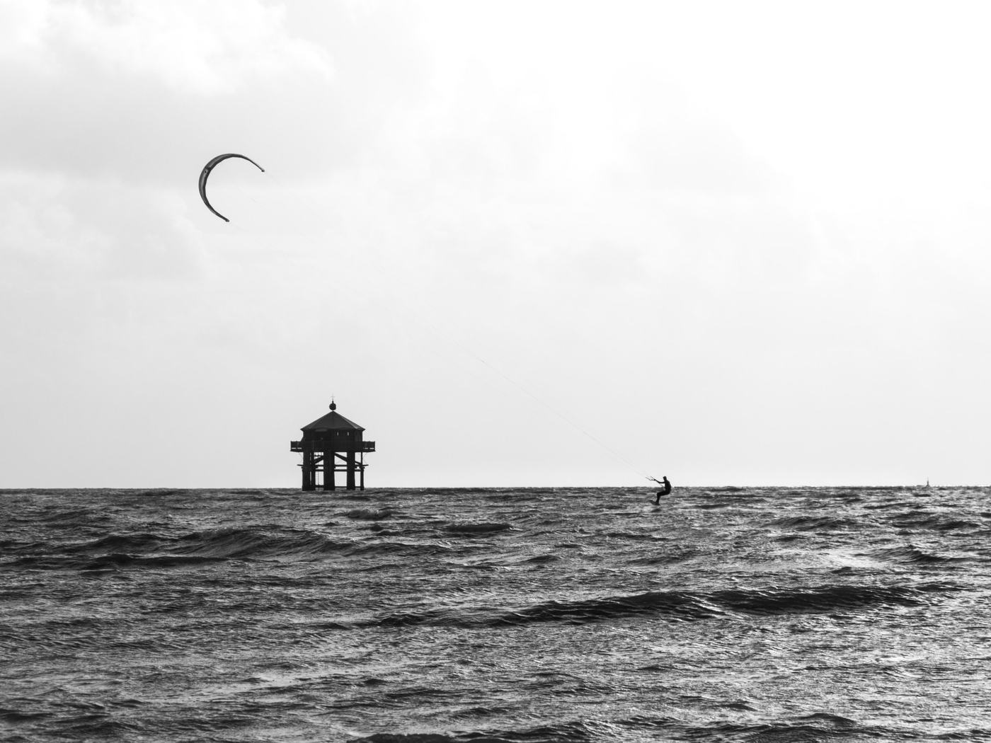
Yes, Wellington is one of the windiest places to kitesurf and windsurf in New Zealand from December to February, but it suits riders who can handle gusts and waves. Windfinder’s Wellington Airport / Lyall Bay station averages 15.5 knots in December, 15.2 in January and 14.7 in February, mostly from the north. Lyall Bay is the wave spot in southerlies, and Plimmerton is the usual choice in northerlies.
Facts as of November 2026, from the sources listed at the end of this page.
How windy is Wellington in summer?
The prevailing wind is north-westerly, and an old windsurf guide says 30 knots or more is not uncommon. The Windfinder airport station, beside Lyall Bay, has monthly averages between 13.5 and 16.3 knots in every month of the year. Those are whole-day averages over all directions.
Organisers of the Windy City Downwind, a surfski race held in spring, say October and November are Wellington’s windiest months.
Where can you kitesurf in Wellington?
| Spot | Works in | Water | Level |
|---|---|---|---|
| Lyall Bay | South-east to south-west | Waves, southerly swell up to 3 m, hard shore break | Advanced only |
| Plimmerton | West to north, best north-west | Waves on the bar, flat on the inside | Intermediate |
| Petone | Southerly | Not described in our sources | Kite Jungle’s pick for beginners and intermediates |
Lyall Bay is gusty in a south-westerly because of the hills on the western side. A south-easterly is onshore and makes it hard to get off the beach. You must be able to ride upwind and get through breaking waves, and you share the bay with surfers.
Plimmerton is generally windier than the rest of the Kapiti Coast but lighter than Wellington. It is very gusty in northerlies and north-easterlies, and Kite Jungle calls the north-easterly dangerous. Kiters launch across the water at Onehunga Bay in Whitireia Park, reached via Porirua and Titahi Bay. The waves form on a bar about 200 m out and depend on the tide; the windsurf guide calls it a good place to learn to wavesail. Windfinder’s Plimmerton station averages only about 6 knots from December to February, so check the forecast before you drive.
The Wellington Windsurfing Association runs socials and wing foil introductions at the Plimmerton Boating Club.
What are the rules at Lyall Bay?
- Contact the airport control tower before launching. The tower can stop kites flying at Lyall.
- Set up, launch and land only at the far west end, in front of the toilet block. Never launch at the east end by the airport.
- Ride only on the west side of the bay; the Briscoes building marks the end of the fly zone.
- Keep 50 m from the public. Power lines and bus cables run along the road.
- The beach is narrow at high tide, so launch at low tide.
Can you paddle a surfski downwind on Wellington Harbour?
Yes, in northerlies. The surfski wiki lists Petone to Tarakena Bay boat ramp (16 km, the Windy City Downwind course), Petone to Eastbourne (about 8.5 km) and Pencarrow to Lowry Bay boat ramp (7.5 km). The harbour does not get huge swell, but the entrance and south coast are open to the sea, and cold southerlies can come through.
What should you watch out for?
- About 14,000 commercial shipping movements a year and the inter-island ferries.
- Barrett Reef at the harbour entrance, partly exposed even at high tide and the site of the 1968 Wahine disaster.
- Boats crossing the bar at Plimmerton, and crowds of windsurfers on good days.
The windsurf guide quoted here is undated, so check conditions locally. For lighter, steadier summer sea breezes on flat water, see Nelson.
How do you get there?
Wellington Airport (WLG) sits beside Lyall Bay. Plimmerton is about 27 km to the north.
How windy is Wellington from December to February?
Share of days with at least three consecutive daylight hours at 11 knots (4 Beaufort) or more, over the last 10 southern summers (2015/16 to 2024/25).
| December | January | February | Mean daylight wind | Most common direction | |
|---|---|---|---|---|---|
| Lyall Bay, Wellington | 70% | 61% | 67% | 13.5 kn | NNW |
| Plimmerton | 73% | 64% | 69% | 13.4 kn | NW |
| Wellington Harbour | 70% | 61% | 67% | 13.5 kn | NNW |
Our calculation from NASA POWER hourly wind at 10 m (MERRA-2 model), 09:00 to 18:00 local solar time. The model grid is about 50 km wide, so it smooths out local sea breezes and gusts: use these figures to compare spots and months, and check a local forecast before you go.
Where do people ride at Wellington right now?
Explore+ in the Waterspeed web app shows recent sessions on a map, with sport and top speed, so you can see which spots are working before you go. Open Explore+. To record your own sessions, Waterspeed runs on iPhone, Android, Apple Watch and Wear OS, and syncs Garmin, COROS and Suunto.
FAQ
Can beginners kitesurf at Lyall Bay?
No. Kite Jungle rates Lyall Bay advanced only and sends beginners and intermediates to Petone in a southerly.
Do you need permission to kite at Lyall Bay?
Kite Jungle says to contact the Wellington Airport control tower before launching, because the tower can stop kites flying at Lyall Bay. Check the current contact details locally.
Where do Wellington kiters go in a northerly?
Plimmerton, north of the city, works from west to north and is best in a north-westerly.
Sources
- Kite Jungle: Lyall Bay
- Kite Jungle: Plimmerton
- winzurf: Windsurfing Guide to New Zealand, Wellington south coast
- winzurf: Windsurfing Guide to New Zealand, Porirua
- Windfinder statistics: Wellington Airport / Lyall Bay
- Windfinder statistics: Plimmerton
- Wellington Windsurfing Association
- Surfski wiki: New Zealand
- Canoe Racing NZ: Windy City Downwind
- Wikipedia: Wellington Harbour